Red de movilidad; Roma
Created on April 27, 2014, 10:33 a.m. by SergioSV - marco_ercoli - federica_barile - massimo.arenaProject: U2_Imaginaciudades_13-14
Topic: III. MOVILIDAD
Coordinators:
scampos
reinoso
Overall rating
0/5 (0 votes)Rating of coordinators
0/5 (0 votes)Description

Cartografía de la red de movilidad pública "fija" de Roma, a escala 1/10000
Panel
Red de movilidad; Roma
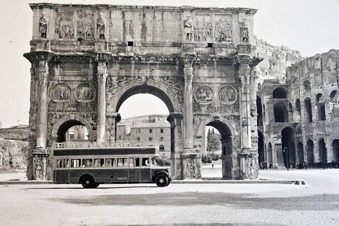
Download fileRepresentación de las líneas y estaciones de tranvía, metro y ferrocarril , además de la accesibilidad 5 minutos a sus estaciones (450 m), por último distinguimos continuidades de 5 minutos peatonales sin cortes en las trazas existentes. fuente imagen portada: http://www.tridenteroma.it/wp-content/uploads/2013/09/arco-trionfo-roma.jpg