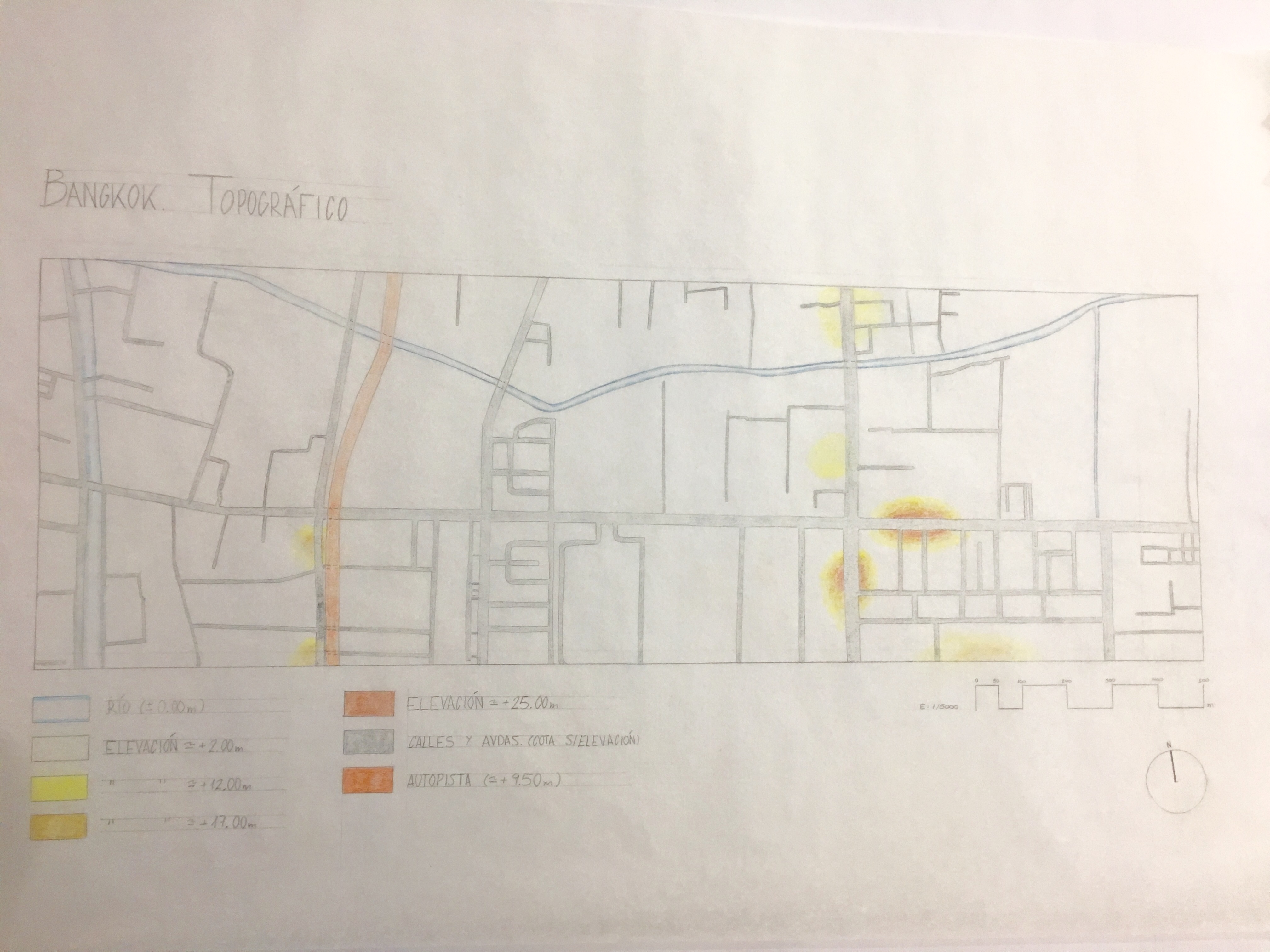
Plano topografía Bangkok
Created on Oct. 1, 2017, 11:39 p.m. by antoniomorenoProject: Urban Games 2017
Topic: Urban Game 2. Ciudades
Coordinators:
abarca
dacama
Overall rating
0/5 (0 votes)Rating of coordinators
0/5 (0 votes)Description
Se indica, de forma general, la elevación de la ciudad y de sus vías de comunicación con respecto al nivel de los ríos que circulan por la misma.
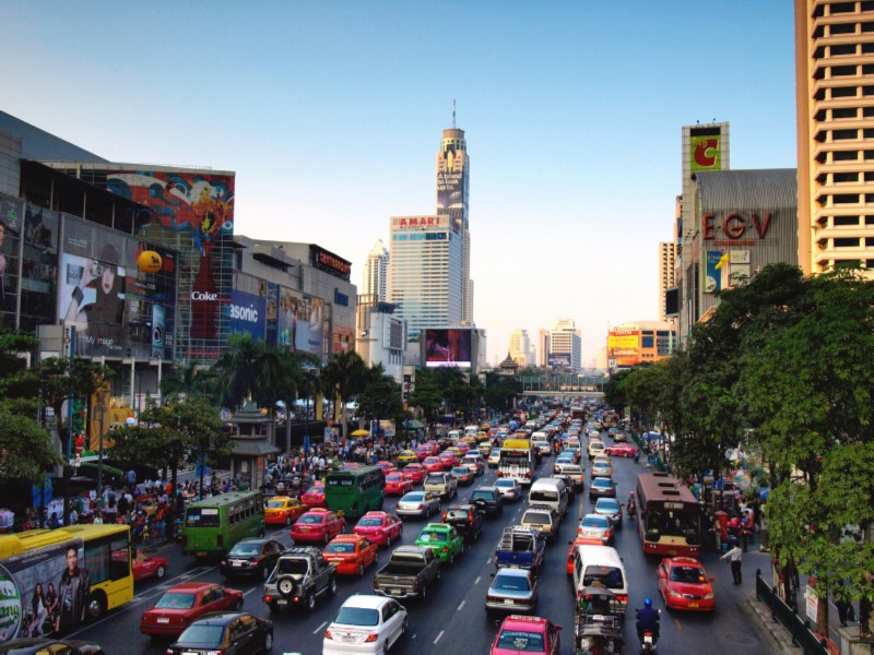
Fuente imagen: http://www.trekearth.com/gallery/Asia/Thailand/Central/Bangkok/Bangkok/photo1090981.htm